The first satellite of the Google-backed FireSat constellation successfully made it to orbit over the weekend, kicking off what promises to be a new era in wildfire detection and monitoring.
The constellation will keep a close eye on wildfires. When fully operational, the constellation’s more than 50 satellites will be able to image nearly all of the Earth’s surface once every 20 minutes. The initial phase will consist of just three satellites, and it will revisit every point on the globe twice per day when it’s operational in 2026.
The first satellite was built by Muon Space and launched aboard SpaceX’s Transporter 13 mission on March 14 from Vandenberg Space Force Base. The sensor suite consists of 6-band multispectral infrared cameras, which are tuned to detect wildfires from a distance.
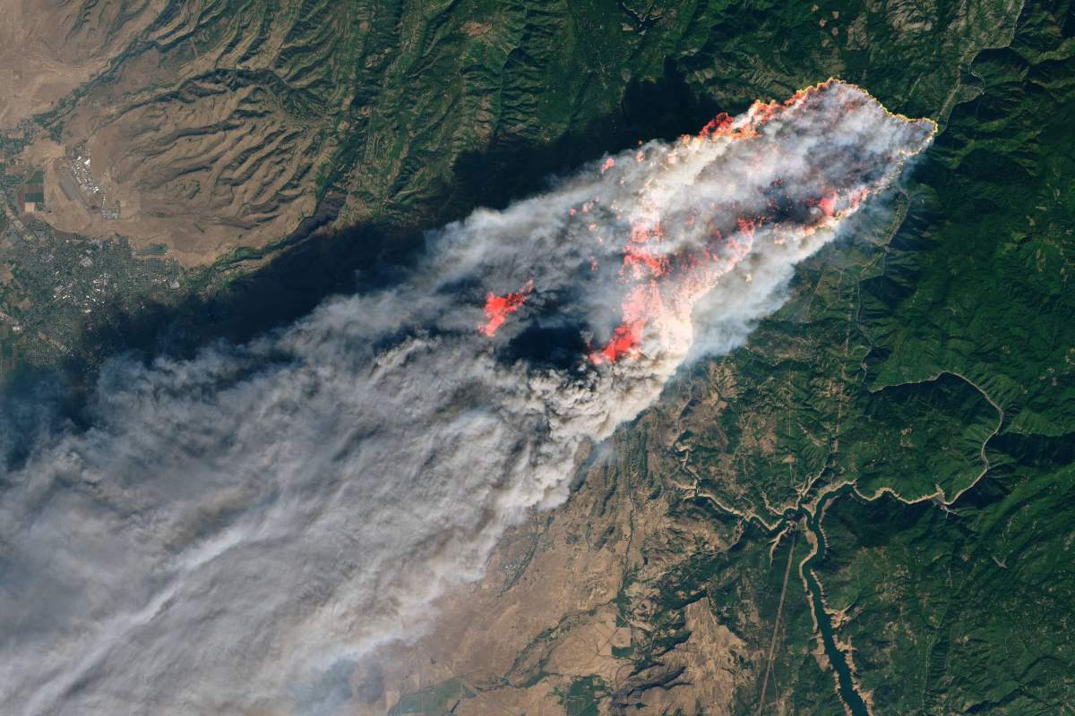
Most wildfire tracking today uses aerial photography via airplanes or low-resolution satellite imagery that’s been repurposed for the task. The former is expensive, limiting how frequently it can be updated, while the latter suffers from low resolution and sensors not specifically tuned to wildfire detection.
The FireSate constellation is designed to solve both of those problems. Its produces five-meter resolution imagery, and when the constellation is flying its full complement, it’ll provide firefighters with near real-time updates on a fire’s whereabouts and behavior.
The constellation is a joint effort between Muon Space and the Earth Fire Alliance, a nonprofit supported by Google, Muon Space, the Environmental Defense Fund, the Gordon and Betty Moore Foundation, and the Minderoo Foundation.